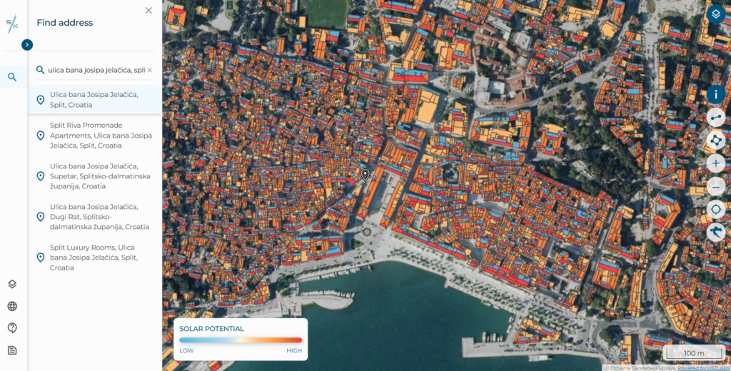
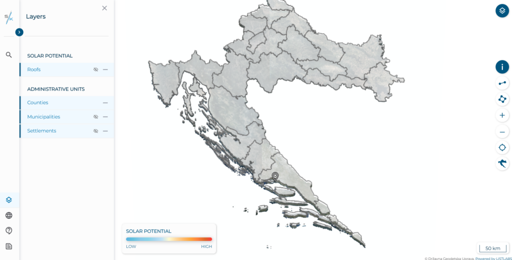
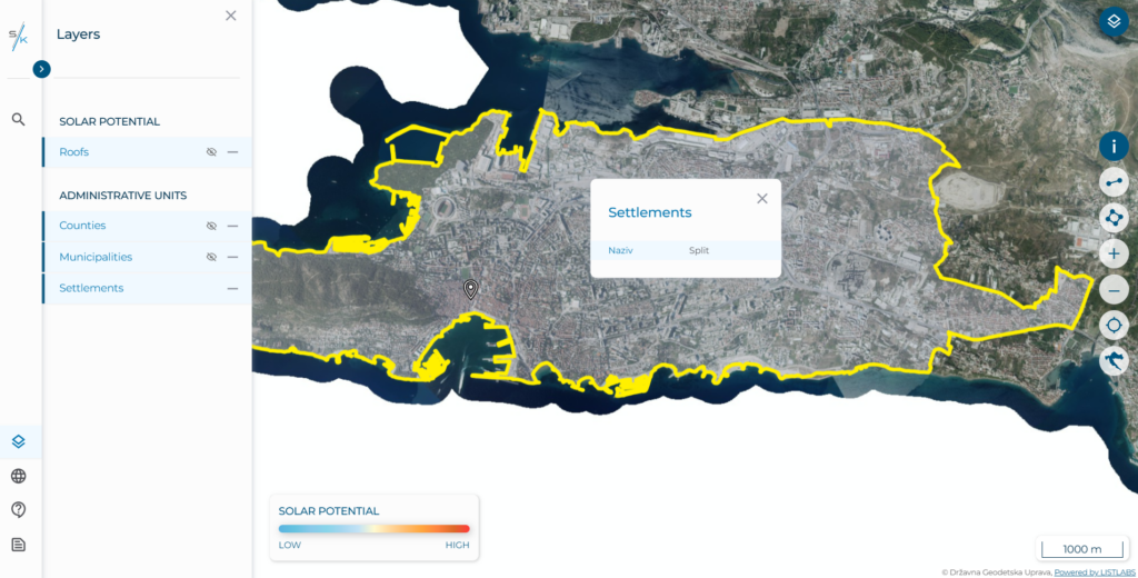
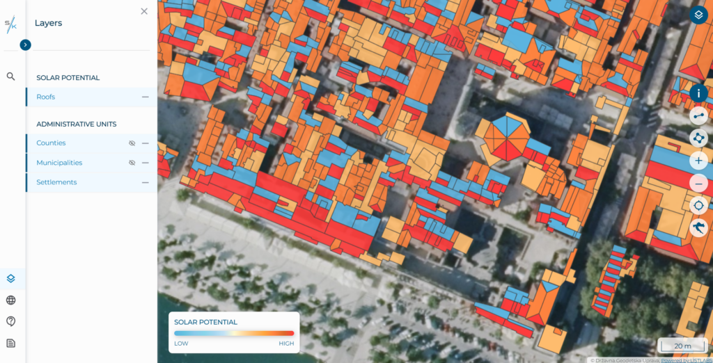
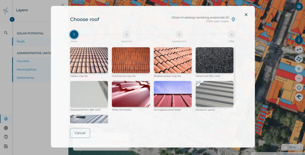
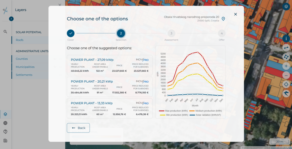
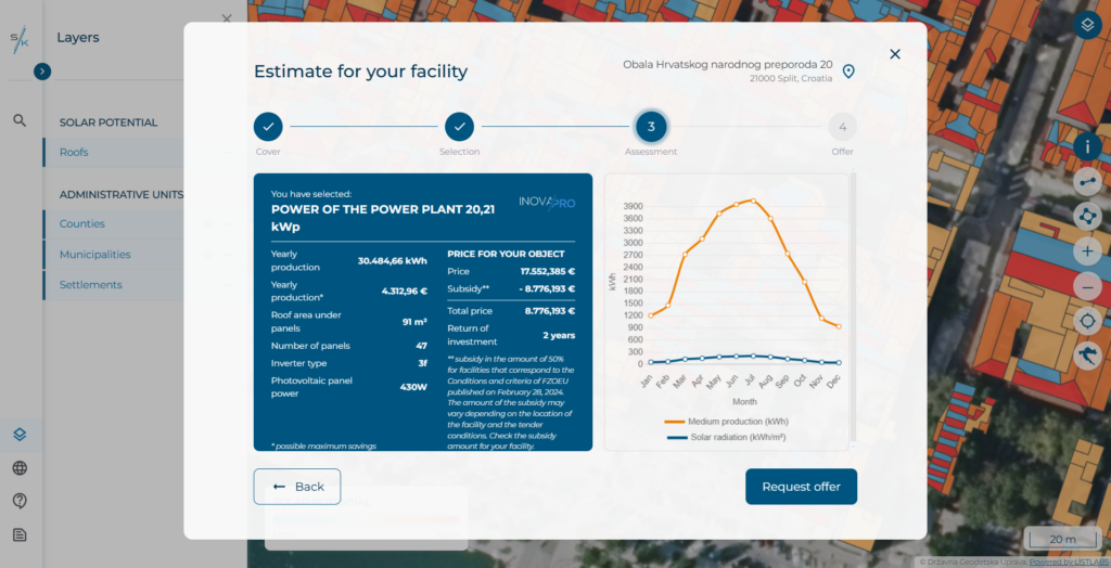
The project utilizes the latest LiDAR data from multisensor surveys of the Republic of Croatia. By processing data, roof segments have been created and classified based on their shape and orientation. Using geolocation, the orientation of the selected roof surface, the roof pitch, and the type of roof covering, system analyzes the possibilities for installing photovoltaic panels on the selected roof surface. Users can choose the power plant model that best suits their energy needs and compare calculations with their actual electricity consumption. “Solarna karta” provides an estimate of annual electricity production, a cost calculation for procurement and installation, and a profitability analysis.